While it may not be the main reason that roads across the country are in disrepair, lack of information is one starting point to find solutions. Simple intuition suggests that officials cannot know about every pothole, collapsed sign, or damaged median. While perfect knowledge is impossible, we have the tools to improve policymaker awareness.
In the 21st Century, governments at all levels should leverage the awesome power of technology and information sharing to develop partnerships with private companies to identify the greatest needs. This could manifest as crowd sourced data, which would be more efficient and faster than paying transportation officials to inspect roadways. By accessing Waze and similar driver-sourced programs, transportation officials could get real-time updates on potholes, heavy traffic patterns from road work or design, and even surface and median damage from vehicle accidents.
Better data can help solve many problems. It can help direct resources in a more efficient manner or simply help pinpoint what needs to be addressed. When it comes to roads and bridges, it is no secret that wear and tear is a problem. Not only does time diminish the strength and safety of our infrastructure, but usage takes its toll.
We could aggregate and analyze the continuously compiled data from Apple Maps, Google Maps, Lyft, Uber, Waze, and others to see where traffic is heaviest and what areas will be in most need of maintenance and repair. We can also derive the best time of day from such traffic patterns to best minimize disruption, which can impact economic activity and alter the cost of maintenance itself. A better informed road crew with fewer disruptions to their work is cheaper as well.
Additionally, these and other technological platforms can share data with policymakers, regulators, and other stakeholders about where issues exist. Perhaps the local authority tasked with pothole repair and maintenance is unaware of a road issue because they have not seen it or had it reported. By tapping into Waze, for instance, where drivers constantly feed data to others on the road, public officials can be given real-time data that road users prioritize.
Finally, through satellite and street-view platforms like Apple Maps, and Google Earth and Maps along with similar technological corporations, artificial intelligence can be used to scan millions of images and hours of footage to identify public safety hazards on roads, medians, bridges, overpasses, and more. This could dramatically increase the speed of maintenance by giving authorities better and more data so they are aware and can respond to issues faster. Combined with drones and other technologies, they can even inspect issues from the office without wasting time going to inspect the issue – which takes time and money and adds to the congestion on the road and wear on the road in the first place.
Is This Practical?
Surely the government should not mandate such a policy. Data is incredibly valuable – surpassing oil and gas in recent years. There are a number of legal issues with forcing companies to turn over data, not the least of which being security concerns, privacy concerns, and proprietary information and intellectual property that could be infringed upon, leaked, or acquired by a competitor, foreign adversary, or saboteur.
With sophisticated AI, one could run programs to analyze the entire body of street view content already publicly available. The same could be done by having individuals, algorithms, or advanced AI peruse map apps that feature realtime traffic data and user-input road conditions, damage, and even police presence.
Partnerships between and among private companies, academic and nonprofit groups, and government are critical. This facilitates better understanding of issues and better solutions to challenges. To some extent this is already taking place. Not only can anyone download or access the publicly facing data, but some already cooperate with officials. LifeWire summarizes this,
- “The information gathered by Waze has proven invaluable not only for drivers but also city planners, transportation departments and first responders. Taking into account the sheer volume of data collected on a daily basis, these organizations are able to work with Waze to design new infrastructure while avoiding congestion, plot the most efficient routes for incident response and efficiently reroute traffic during fluid situations.”
With access to more data about actual road usage, congestion, and conditions, everyone from city planners to automotive innovators can benefit. Students and professors can analyze urban policies to promote public safety and access to resources. Innovators can calibrate features like stop-start technology and even autonomous driving systems. Many other solutions, and even problems are yet to be discovered, described, and addressed, simply because the right people are not currently handling the right data.
Solutions Underway
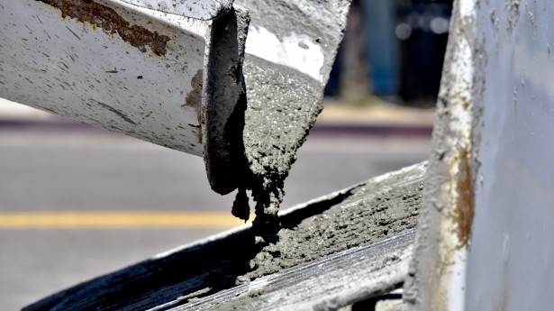
Today, many people are working to address conditions on our roadways. Among the innovative ways potholes are being combatted are a real and conceived specially designed pothole truck, Dominos Pizza, and even self-healing concrete!
Learn more about one solution to road issues found in concrete from our Advisor working in the industry.
Written by Benjamin R. Dierker, Director of Public Policy
The Alliance for Innovation and Infrastructure (Aii) is an independent, national research and educational organization. An innovative think tank, Aii explores the intersection of economics, law, and public policy in the areas of climate, damage prevention, energy, infrastructure, innovation, technology, and transportation.