I have studied damage prevention for several years. From reading reports and best practice guides to ride alongs with locators and even calling in an 811 locate request, I felt like I had a good understanding. But it was this summer when I made an online homeowner locate request that I learned the most.
The way we protect underground infrastructure in America has evolved over the last 50 years. From notice of proposed excavation using long 10-digit phone numbers for individual utility companies to a single nationwide one-call number (8-1-1), the process is now far simpler and more effective than it has ever been. To keep the millions of miles of pipelines, cables, wires, and mains safe from excavation, though requires more than just calling 811. There are technological underpinnings making it all possible, but as I learned, it is not nearly as technologically advanced as I had hoped.
The basics are that the person digging – whether it’s a professional excavator, a construction crew, or a homeowner simply planting a shrub – notifies their state one-call center by calling 811 or entering information in their website. The notice is then send along to all the utilities in the area who may have subsurface infrastructure at the dig site. When a conflict is expected, a locate technician is sent to the dig site to mark the ground with color-coded spray paint to represent the presence, location, and type of utility below ground. Usually five or six utilities are notified for residential sites.
When I built my own fence two years ago, I called 811 and told them I was a homeowner digging post holes on the side and back yard of my house. Over the next three days, spray paint markings appeared around my front and side yard. Unfortunately, the spray paint did not capture everything, and on one power auger run, my neighbor’s internet cable was severed. Little oversights and errors are bound to happen, but it is also possible that my simple phone description of the site was insufficient to explain that the post holes would be on the side yard nearest my neighbor (and still out front, not the private line section). This is one type of incident that could be avoided with better detail and precision when providing notice.
My New Experience
This summer, I set out to entirely re-landscape my lawn, front, back and sides. The plan was to rip out every blade of grass, level out the dirt, lay new sod, replacing flower beds, install new edging, build a retaining wall, and more. I knew that I would need to notify the one call center, and I hoped I could provide better details to avoid what happened with the fence posts. So I opted to use the homeowner locate request process online, where I could make a ticket request through my state’s one-call center.
I knew from research that some states allow excavators to draw their dig site directly onto a map hosted by the one-call center. Electronic white-lining (or virtual white-lining) is the web-based way to premark the site. This way, I thought I could avoid spray painting white around my entire yard to let locators know that I would be digging/excavating/tearing out everything. I was not sure if my state had electronic white-lining available through its one-call center, but knew that was my best chance of avoiding imprecise notice and the type of issue that happened before. When I logged in to make a locate request, I was excited to see a map with a feature that allowed for drawing my own polygon.
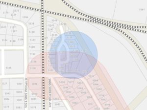
Because I was embarking on a total lawn redo, my polygon encapsulated the entire residential lot. I made note in the remarks section that it was a whole-of-lawn task and that I would be using a power tiller across all grass sections. When I finished making the polygon, I was surprised to see that the one-call center only accepted my drawing in order to draw an enormous radius around my lot. Rather than demonstrate to locators the boundaries and scope of my job, what the utilities and locators saw was a 500-foot diameter circle with my house in the middle.
While this ensured that any and all utility companies with infrastructure remotely near my dig site would be notified, it eliminated the precision and detail that actually showed what I was doing. It was clear the one-call center favored broad notice to precise detail with this action. It also seemed somewhat wasteful of my time and attention. (Not to mention any utilities being notified who would have to pay the one-call center a fee for being notified about a potential conflict that, in reality, is no conflict at all.)
I could simply have input my home address and created the same circle around the property. Had I only been planting a tree in my front yard and drawn a small 5-foot diameter circle in the center of the yard, the locators would still have only received a 500-foot circle around my entire neighborhood – fully 26 houses. This would not help show the scale, scope, or precision of my actual dig, only give notice that digging would be happening on the lot. In that case, I would have had to spray painted the circle on my lawn for locators to know. This extra step is wasteful and if I had been a contractor rather than homeowner, it would have also required an extra costly trip to the job site to physically mark.
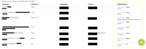
Once my submission was received by the one-call center, I received an email notifying me of the seven utility owner/operators that may have infrastructure below my lot. I also received a hyperlink to access a ticket check system, where I could login and see the live status of my locate requests. This platform is called electronic positive response, and it is where the utility/locator provides an affirmative message to the excavator about whether they have infrastructure on site, whether they have visited the site, and what if any issues arose. Upon immediately checking the system, one utility already had a positive response stating they had “no conflict” and would not need to visit the site at all – in other words, they saw the scope of the work and screened the ticket knowing their infrastructure was not actually at the dig site. This is likely because they were caught up in the 500-foot radius but in a different neighborhood.
As the next days came, I spoke with the various locators who came to the site. I asked in particular if they knew about electronic white-lining or other technologies I had read about or seen in the field. They had not. One locator even offered to show me the ticket he received. We walked over to his company truck and he turned the laptop toward me. On it was the giant radius circle and the ticket text with descriptions. This confirmed once more that the locators were not seeing the more precise polygon and had little or no information about the actual dig or site other than text description and a circle that covered the whole neighborhood.
This particular locator had been an excavator for over a decade before switching to the locate technician side of damage prevention. He also added that it was only in the last year that the one-call centers in this state provided a map to locators. In his words, the giant circle was not great, but it was an improvement. Hopefully the state will continue to evolve and will pass along excavator’s own polygons directly (at least in addition to the circle).
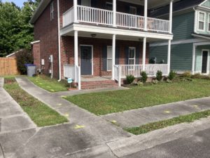
When all the markings were complete, I once again checked the positive response portal (pictured above). In my state, the excavator is required to check this before digging. With electronic positive response, the one-call center is capable of sending an automated message when all locators have responded, thus shifting the burden from the excavator having to check to the one-call center ensuring all parties are aware of the completeness of the locate task. Knowing all the utilities were marked, I was left with spray paint on my side walks, drive way, and lawn – as an aside, I have a strong preference for utilizing a virtual process as much as possible and reducing the use of spray paint. My sidewalks, now months later, are permanently marked.
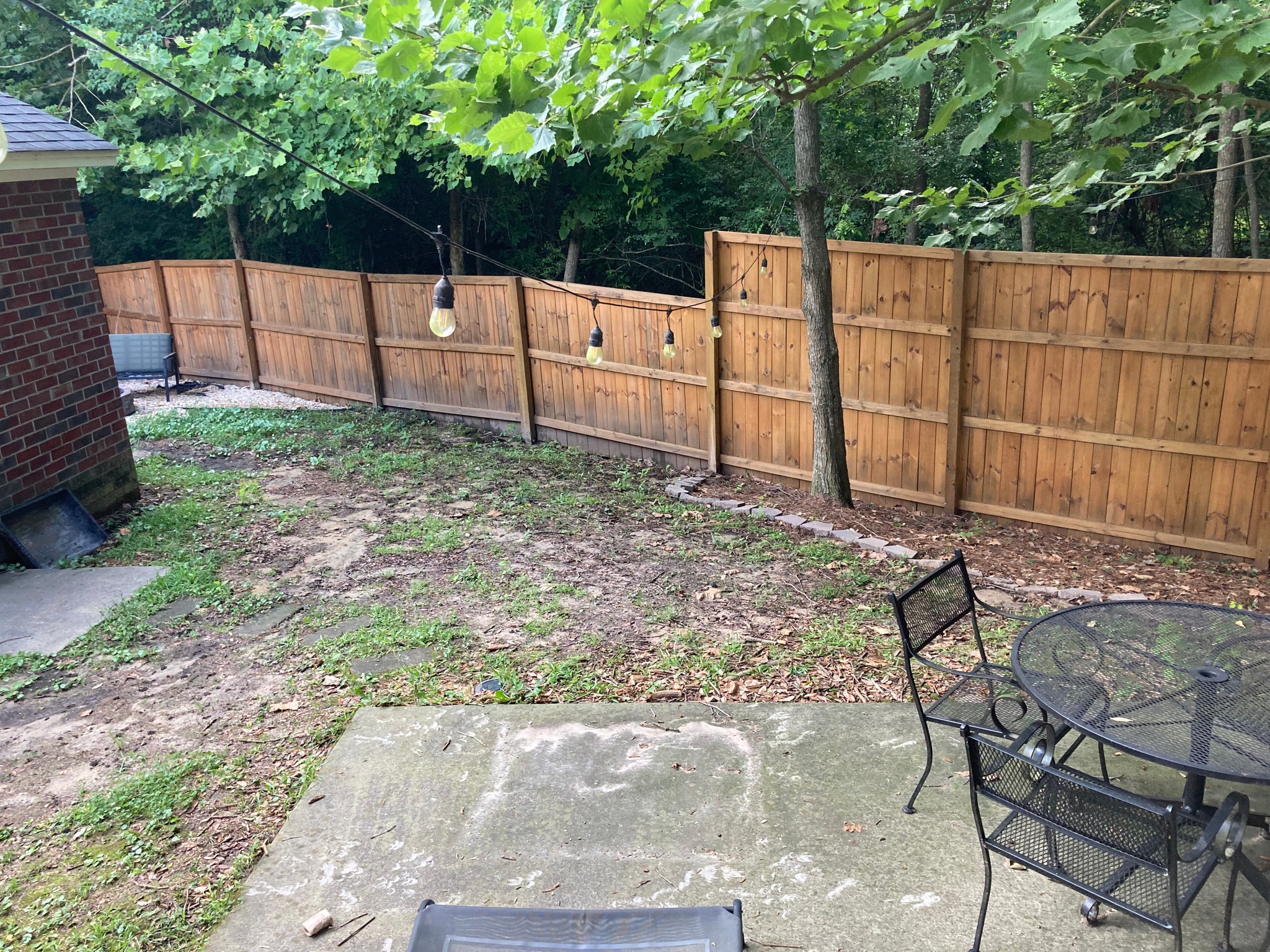
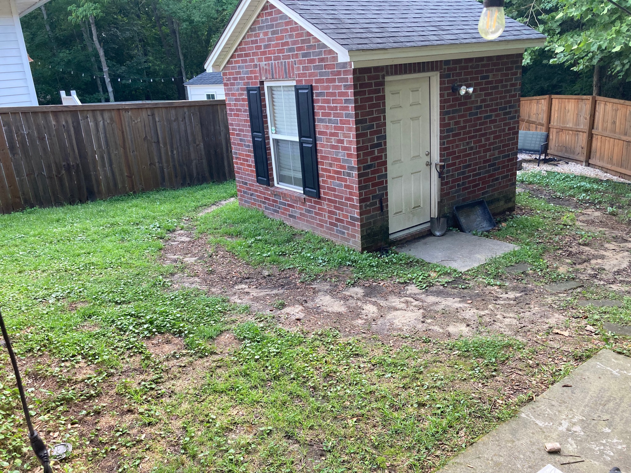
I snapped a picture to text my wife that the job was done and went back inside.
When the day came to start the project, I realized just how important this single photo would be.
Stage one of my landscaping project was the sod project, and I had a two-man crew bring in the tools and experience to get it done. Together, the three of us removed the grass, leveled the dirt, shoveled five cubic yards of new dirt in the back, and laid all the sod. Relying on their tools and experience, I waited to be told what to do.
Their first step was to “burn” the grass. What that means is using a weed eater to cut the blades down to the ground and remove as much mass as possible before running the power tiller through the yard. They took visual note of the spray paint, and the quasi foreman of the job told the other man to be careful along the orange path that ran parallel to the sidewalk the entire length of the yard. The tiller would only dig in an inch or two, so there was not great concern about the subsurface lines, which would be buried just below that level.
Once the burning commenced, we had no record of the spray paint. It was fully and irretrievably gone, but we had yet to put the tiller to the ground. So in the course of doing the job, we lost the only record we had of where the lines were. I had hoped my state one-call center offered an enhanced positive response (EPR) system, whereby alongside their positive response recorded in the image above, they could also leave a record with hyperlinks to images or attachments of photographs. As it stood, all I had to go on was the single image I had captured myself.
Going into the project, I was aware of EPR. After the project, I had to look up the Common Ground Alliance (CGA) best practice guide to see if there was anything else that I should have done. Sure enough, Best Practice Statement 5.11 does recommend that excavators make documentation of the marks for just such occasions as this. I agree this is a best practice, but as an unsophisticated homeowner excavator, that is a lot to ask. It makes far more sense to me that the utility/locator/one-call center be the facilitator of this information, made accessible through an electronic positive response portal. In fact, according to the EPR best practice statement (CGA Statement 3.31):
It is a common practice for utility operators and contract locators to capture the enhanced information about locates that are performed in response to One Call Centers requests. Sharing this enhanced information with the excavator, prior to excavation, will help to reduce damage to underground facilities and provide clarification of the location of each utility.
If it is already commonly collected information, it should be sent along to the one-call center and made available to excavators.
Still, for my yard, that was a minimal issue up to this point. Our tiller would only grab a few inches of grass, roots, and dirt, and the telecommunication line was likely a safe distance just below. That was…until our tiller broke and we had to have an equipment rental company bring out a new one. This new tiller had teeth that gripped four or five inches into the earth. Now, the telecommunications line crossing my yard may actually be at risk, as we had removed all the top grass and were ready with a power tool capable of a deeper churning of the yard. With the lawn completely burned now, my single photo was all we could consult. I showed it to each man and advised that we be especially careful and light with the tiller passing that section of yard. Fortunately, we never had an issue, and no utility damages occurred.
Final Thoughts
Overall, the locate request process was relatively simple to navigate. Using the web entry was much better than calling a telephone agent and trying to describe the size and parameters of my lot and proposed dig. Drawing my own polygon was simple and satisfying. In the .gif file above, you can see that while drawing my polygon, an autobuffer is generated. It was curious to me that the one-call center then added another circular buffer about 100 percent larger than the original and that they made no use of my own polygon, sending their own circle only (not in addition to my polygon) to the utility companies.
The list of all utilities along with their names and contact information was useful for positive response. The electronic positive response system that allowed me to check in real time was also great. My main criticisms are a lack of true electronic white-lining and failing to send the polygon to the utilities/locators as well as a lack of enhanced positive response that would have provided enhanced information (particularly digital photographs of the locator’s complete job). I am especially disappointed in the lack of photos because I directly observed multiple locators from different companies take pictures on their smartphones of their completed markings, presumably for proof of completion to their own bosses. These could have easily been uploaded or forwarded to the one-call center or me, the excavator.
All in all, it was an eye-opening experience and I learned far more about damage prevention than I anticipated. From using more of the locate request system to interacting with locators and then doing more excavation work myself, I got to see many sides of the issue in the field rather than my usual post behind a computer screen.
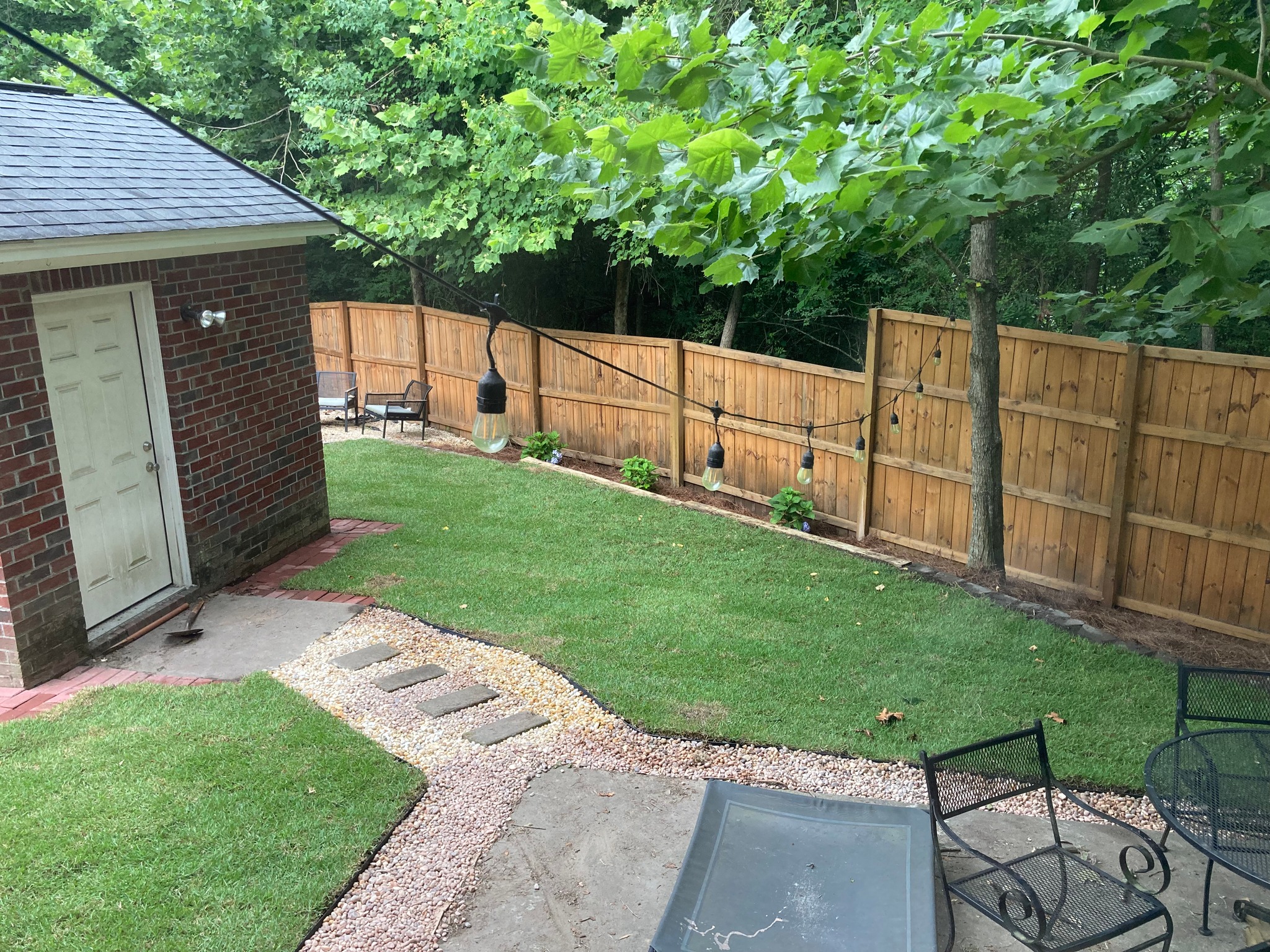
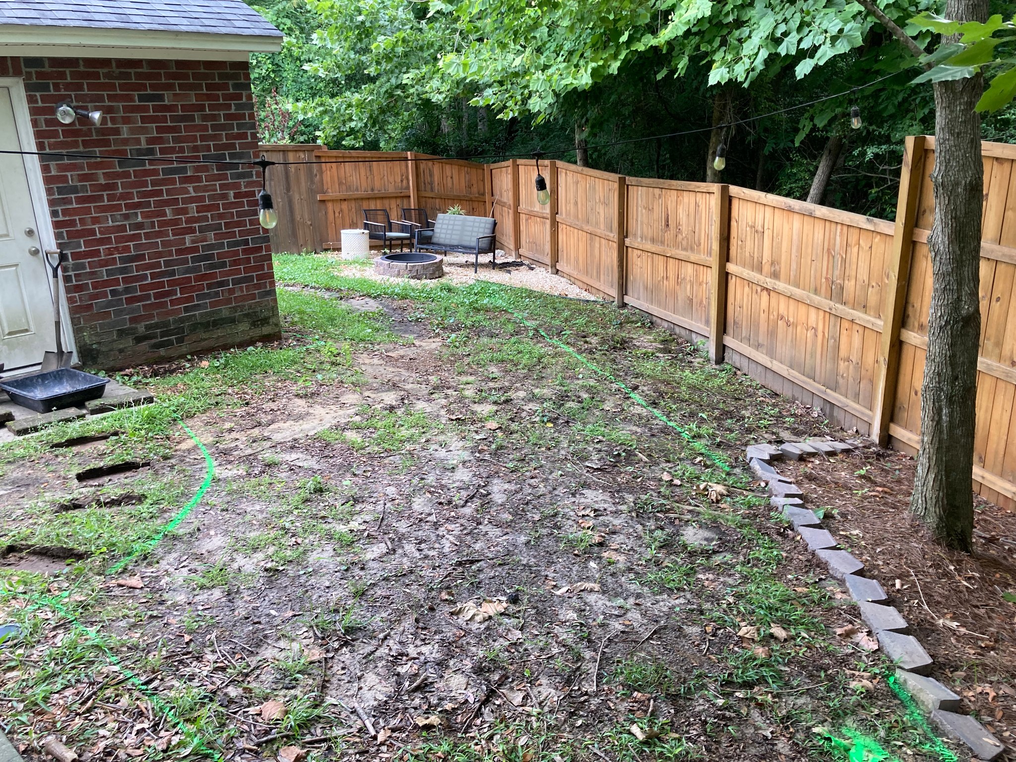
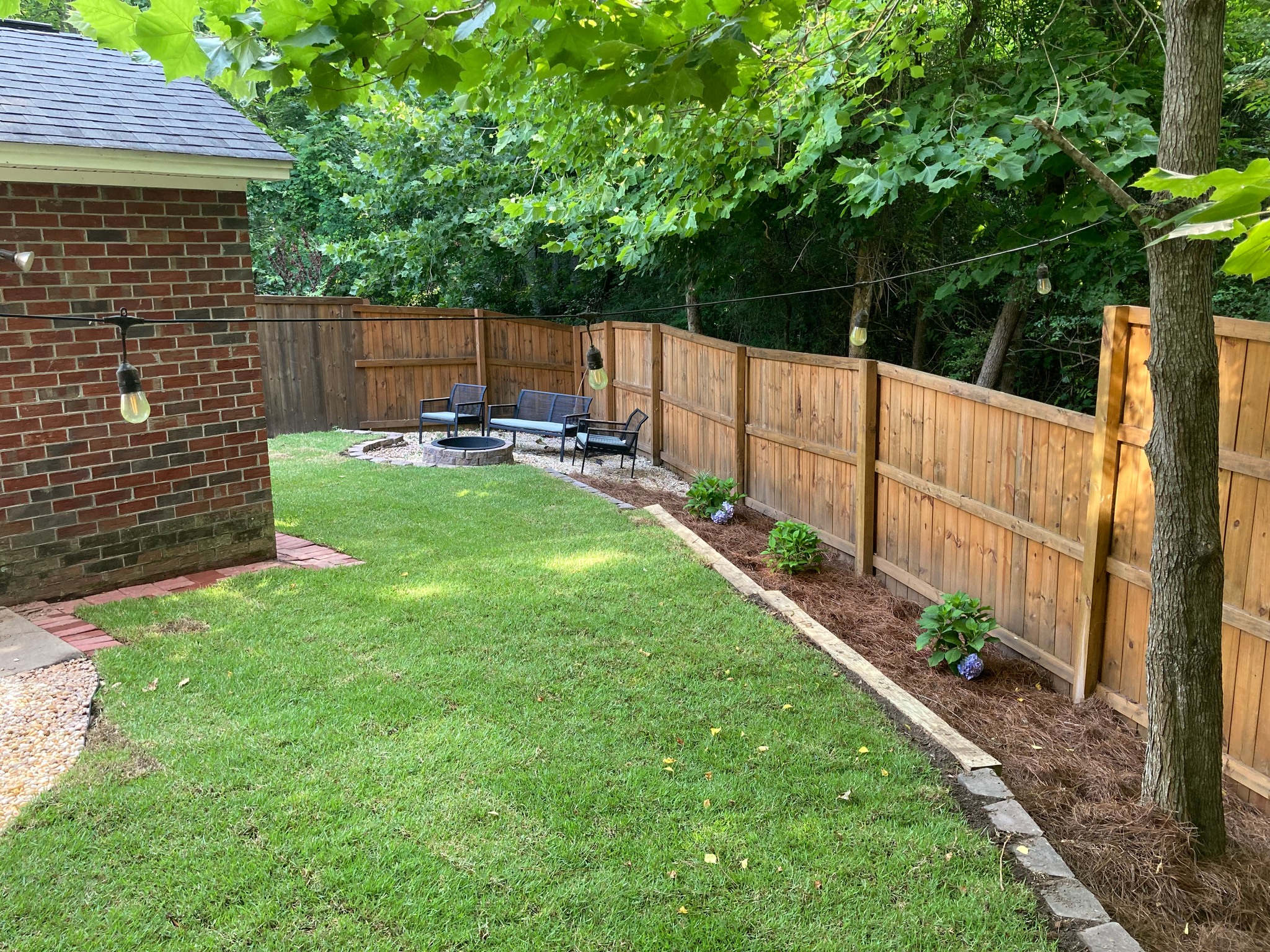
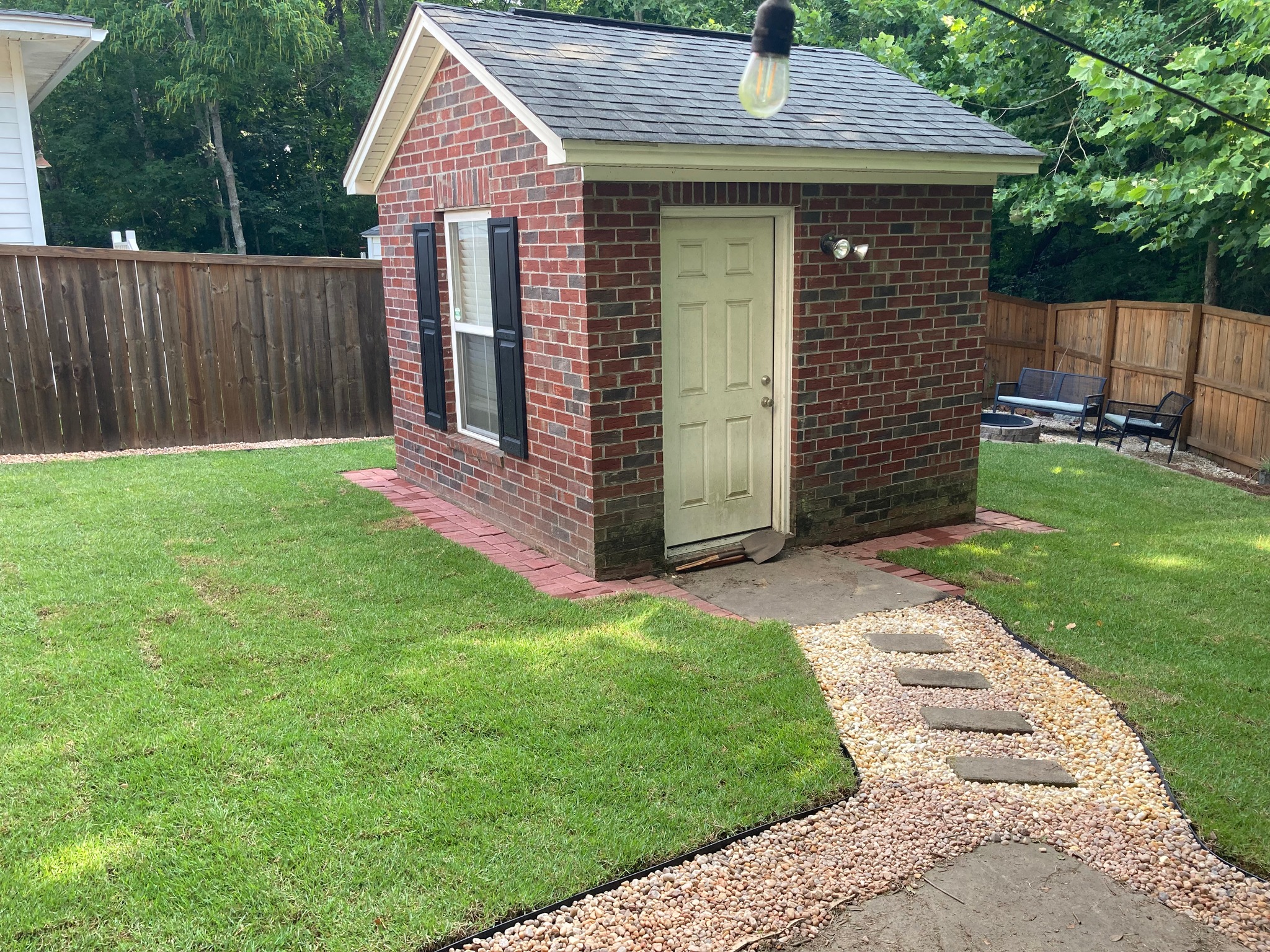
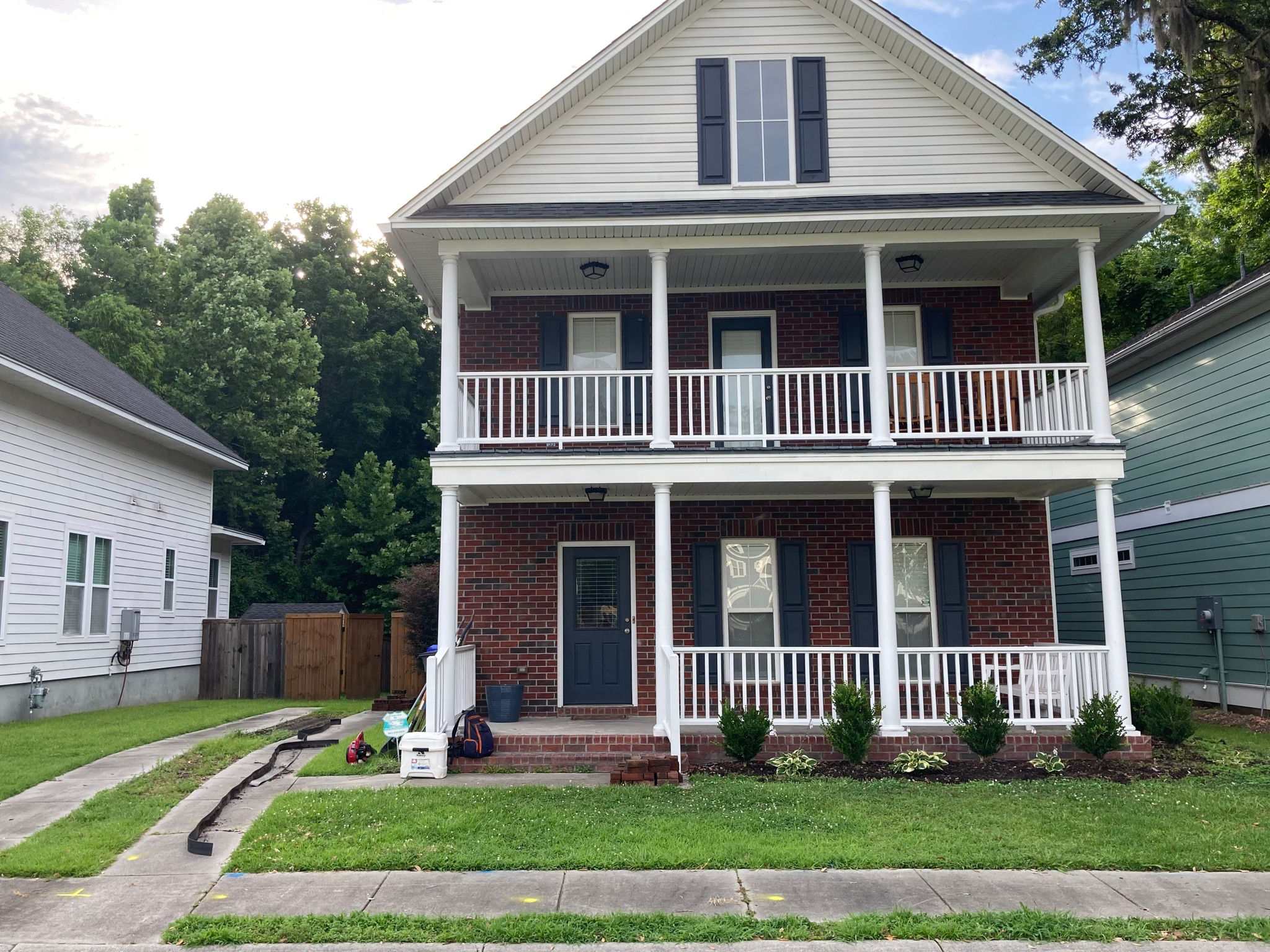
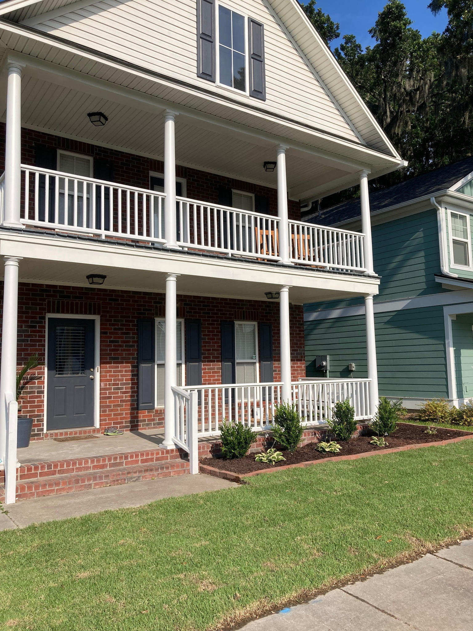
With all locate requests made and work completed, here is the finished job:
Written by Benjamin Dierker, Director of Public Policy
The Alliance for Innovation and Infrastructure (Aii) is an independent, national research and educational organization. An innovative think tank, Aii explores the intersection of economics, law, and public policy in the areas of climate, damage prevention, energy, infrastructure, innovation, technology, and transportation.